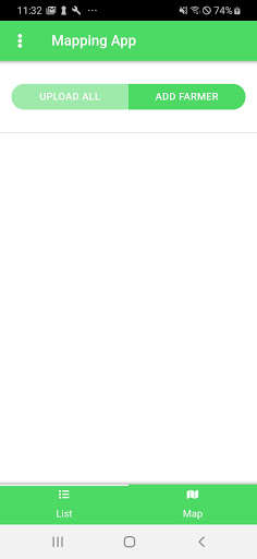
We provide GRAS Mapping App online (apkid: org.grassystem.smallholderapp) in order to run this application in our online Android emulator.
Description:

Run this app named GRAS Mapping App using MyAndroid.
You can do it using our Android online emulator.
The GRAS Mapping App provides users with the possibility to collect farmers data, fields polygons and pictures.
Farmers can be entered in the App by scanning their QR Code.
The QR Code is provided by the Central Office representative.
Farmer data are taken via a questionnaire in the app.
Different kind of data can be collected with the app: Basic data, financial data, agricultural data, field data.
Data can be either farmer specific or field specific.
Fields polygons are collected by walking around the farmer field and adding the corner of the fields in the app.
When the user reaches at leat 3 corners, the possibility to close the polygon is provided.
Once the polygon is closed, the user can see the polygon in the map and add field specific data (yields, use of chemicals, etc.).
Photos can also be saved in the app.
Photos can relate to the farmer (profile photo), farmer relevant documents (id card, land right certificate) and the farmer field (specific measures implemented on the field).
All collected data are then uploaded to the GRAS database and can be accessed online through the GRAS website.
MyAndroid is not a downloader online for GRAS Mapping App. It only allows to test online GRAS Mapping App with apkid org.grassystem.smallholderapp. MyAndroid provides the official Google Play Store to run GRAS Mapping App online.
©2025. MyAndroid. All Rights Reserved.
By OffiDocs Group OU – Registry code: 1609791 -VAT number: EE102345621.
