
We provide ALIGN ATL online (apkid: edu.gatech.cgis.align) in order to run this application in our online Android emulator.
Description:

Run this app named ALIGN ATL using MyAndroid.
You can do it using our Android online emulator.
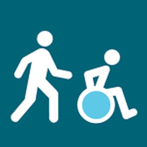
ALIGN is the user-friendly route planning and navigation tool with special features that aid older adults and people with mobility and/or visual limitations.
Pick your starting point, destination, and most important parameters, and ALIGN will create a route that best suits the options youve selected.
Parameters include audible crossing signals, street lights, low crime rates, sidewalks, and more.
The app will notify you of conflicts both before you start your route and during the turn by turn navigation.
Functions:
Set up to five essential parameters and unlimited secondary parameters to generate a route that will meet your individual needs.
See a map overview of the route with indications of where you may encounter the types of features you have identified as conflicts.
Preview the route before you start walking: step by step directions show you where you may encounter the types of features you have identified as conflicts.
Use turn by turn direction, just like in your favorite navigation apps.
Access street view imagery of the portion of your route where a conflict has been identified.
Access your phones accessibility settings through a direct link on every screen.
MyAndroid is not a downloader online for ALIGN ATL. It only allows to test online ALIGN ATL with apkid edu.gatech.cgis.align. MyAndroid provides the official Google Play Store to run ALIGN ATL online.
