
We provide 3D maps (Terrain) online (apkid: com.maps3d) in order to run this application in our online Android emulator.
Description:
 from MyAndroid or emulate 3D maps (Terrain) using MyAndroid")
Run this app named 3D maps (Terrain) using MyAndroid.
You can do it using our Android online emulator.
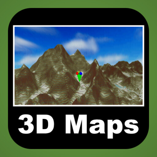
Topo Maps 3D Maps G_3Dmaps 3D terrain map
This app always knows and uses the current location even when running in the foreground as well as in the background.
To cover whole world in detail 3D terrain map.
Finding peaks(290,241) of the world
This application covered whole world 3D terrain map based on tile service.
You can use several Open Street Map.
OSM map tiles and elevation data are downloaded only one time.
Downloaded data are utilized as off-line data.
Your outdoor tracking(ski,climbing,running,flight etc.) data is 3D basically.
Save 3D track and Review it.
Track saving format WOO,IGC(enable validation),KML,GPX is available.
Import track format also is same.
Enjoy whole world 3D track history.
Elevation data's max resolution is 30m30m.
MyAndroid is not a downloader online for 3D maps (Terrain). It only allows to test online 3D maps (Terrain) with apkid com.maps3d. MyAndroid provides the official Google Play Store to run 3D maps (Terrain) online.
